GEOHAZARD

Using geophysical and geotechnical data to understand geology allowing operations to be conducted safely and efficiently

Our team specializes in interpretation and reporting of geophysical and geotechnical data. We are new to Xodus (formerly Ocean Geo Solutions), but our team has been around for over 25 years and has earned a reputation for customer service and technical capability.

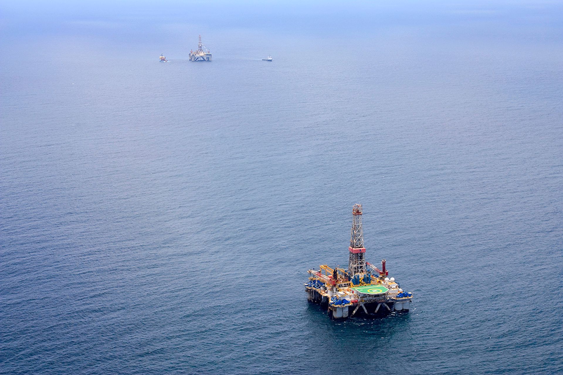
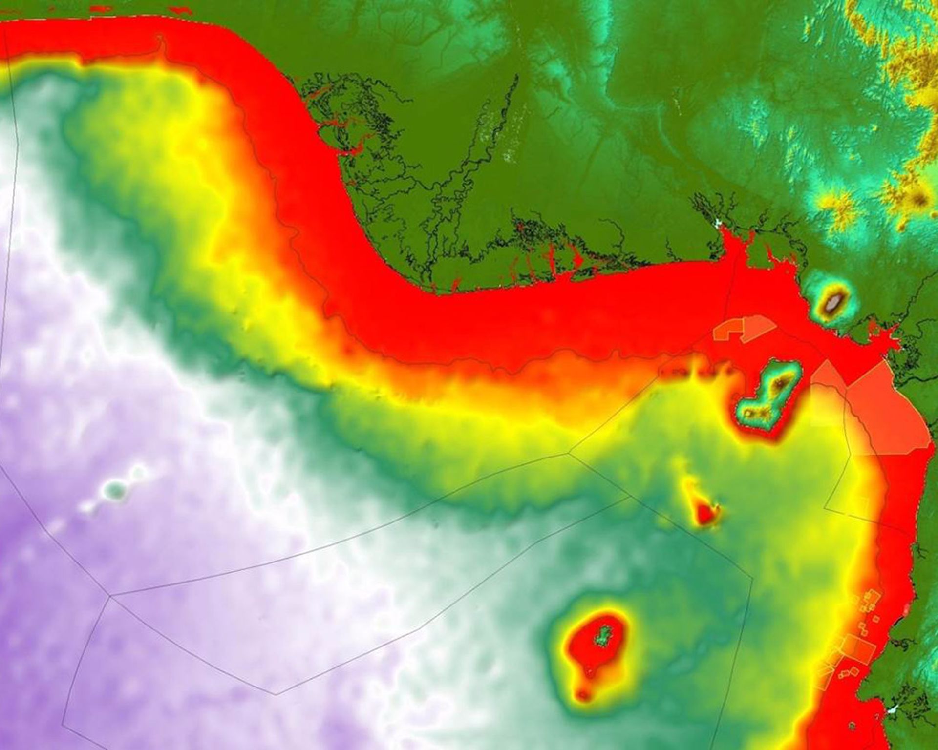
We are industry leaders in undertaking geohazard studies to de-risk energy development exploration and production sites, not just in financial terms, but in terms of mitigating any ground integrity issues that may lead to environmental disasters. Our team provides excellence in geophysical interpretations, providing both oil and gas operators and wind developers confidence that they can use to develop their sites safely. 

Geohazard 1
Geohazard 2
Geohazard 3

DRILLING

Drilling Hazards Interpretation

We use existing 3D exploration seismic data to map seafloor & sub-surface geology, analysing how conditions may impact drilling operations & highlighting potential drilling hazards & problems such as shallow gas, faulting, shallow water flow etc. (Generally, this analysis technique works best in water depths over 200m).

Real Time Well Monitoring

Real time well monitoring whilst drilling the shallow section makes a member of our team one of your team, working with your drilling engineers to understand the shallow section and to be available to adjust to changing wellbore conditions at a moment’s notice.

Pore Pressure Analysis

We use seismic data and well log data from nearby wells, (if available) to predict pore pressure.

DEVELOPMENTS

Seafloor Development Reconnaissance Study

We use existing seismic and other public and proprietary data as available to make an initial assessment of planned seafloor developments and recommendations to avoid hazards or complex seafloor areas allowing optimization of future survey requirement and minimize expenditure.

Geological Input for Environmental Impact Assessment

We interpret existing multi component acoustic data to map and determine seabed conditions. This type of assessment focusses on environmental impact, specifically targeting biologically sensitive communities and supportive seabed conditions for sensitive biology development.

Interpretation and Reporting • Site Surveys • Cable Route • Wind Farm

We use multi component high resolution seismic data to interpret and produce detailed geohazard analysis, including, but not limited to:

  • Multi Beam Bathymetry
  • Side Scan Sonar
  • Magnetometer
  • Sub-Bottom Profiler
  • Multi-Channel High Resolution Seismic

Geotechnical Testing, Interpretation and Reporting

Recommendations on soils testing to meet development goals. Integration with existing geophysical data to provide total site characterization.  We also provide geotechnical analysis on:

  • Rig Leg Penetration
  • Pile Drivability
  • Anchoring

SPECIALIST SERVICES

Consultation Scope of Work Project Management

As an independent company with over 25 years’ experience in the Marine Science field we are able to provide consultation on project planning, survey contractor selection and project management of any geophysical site survey project worldwide.

Metocean Studies and Predictions

We provide historical data on wind, waves, tides and current and provide a prediction of expected conditions for infrastructure planning and design.

Personnel

Archaeologist, Marine Wildlife Observers, Geophysicist, Geologist, Geotechnical Engineer, Marine Biologist

With required health and safety training.

Cartographic Services

Drafting, GIS, geodatabase, SSDM, digital capture & reproduction, map creation, CAD files, printing, binding and large format plotting services.

Insights

More about what we do.

We're ready to take on your challenge.